
August 11, 2026|CoreSignal
Thank you for reading this post, don't forget to subscribe!Synopsis
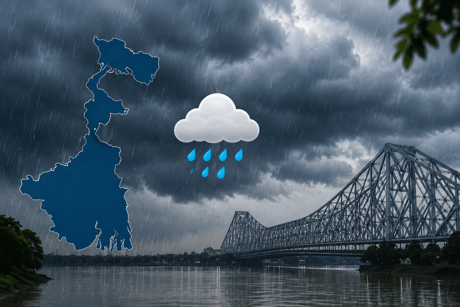
West Bengal Weather Forecast: IMD Signals Heavy Rain
If you’re stepping out in West Bengal over the next several days, keep an umbrella within arm’s reach — the monsoon isn’t done with the state yet. According to the India Meteorological Department’s (IMD) latest extended outlook, South Bengal is headed into a spell of widespread rain with pockets of heavy to very heavy downpours, while North Bengal continues to see steady monsoon activity, albeit slightly below its usual intensity for the week.
Here’s a full breakdown of what to expect.
Current Conditions: Where Things Stand
As of midday on 11 August, Kolkata was sitting at around 32°C with patchy rain nearby, high humidity near 63–74%, and a strong 78% chance of rain through the day — a fairly typical mid-monsoon snapshot for the city right now. An upper air cyclonic circulation sitting over south Gangetic West Bengal and adjoining Bangladesh has been feeding this activity, and it’s set to keep influencing the state’s weather through the coming week.
Week-Ahead Outlook: South Bengal
IMD’s extended forecast flags South Bengal as the area to watch this week:
- Widespread light to moderate rain and thundershowers are very likely across the region.
- Heavy to very heavy rainfall (7–20 cm) is expected at isolated spots in some districts — a level of rainfall that can cause local flooding and waterlogging, particularly in low-lying areas.
- Overall rainfall activity for South Bengal this week is expected to run above normal.
Week-Ahead Outlook: North Bengal
North Bengal isn’t escaping the rain either, though the pattern looks a touch calmer than the south:
- Fairly widespread light to moderate rain and thundershowers are expected across the districts.
- Isolated heavy rainfall is likely on some days in select districts.
- Despite the wet spell, overall rainfall activity in North Bengal is expected to stay below normal for the week — a bit of a breather after the intense spells of extremely heavy rain (over 20 cm) recorded in Jalpaiguri, Alipurduar, and Cooch Behar in the final days of July and early August.
Kolkata: Day-by-Day Trend
Based on the latest available daily projections for Kolkata through the week:
| Day | Temp (approx.) | Humidity | Conditions |
|---|---|---|---|
| Today (Aug 11) | 32°C | 70–74% | Patchy rain nearby |
| Aug 12 | 32°C | 70% | Patchy rain nearby |
| Aug 13 | 29°C | 79% | Rain showers |
| Aug 14 | 29°C | 80% | Rain showers |
Temperatures are expected to hover in the high 20s to low 30s through the week, with a noticeable dip and an uptick in rain from around 13 August, as the wetter phase of the week-1 outlook kicks in.
Murshidabad and Surrounding Districts: What to Expect
Murshidabad falls under South Bengal in IMD’s classification, which means it’s directly in the path of this week’s heavier rain activity. The district has already seen notable rainfall in recent days — Jangipur in Murshidabad recorded 10 cm of rain on 3 August, part of the wider spell of heavy showers that hit South Bengal that week. Neighbouring Birbhum district also saw substantial rainfall around the same period, with Nalhati (9 cm), Suri (8 cm), Murarai (7 cm), and Tilpara Barrage (7 cm) all recording heavy showers on 5 August.

Given this pattern, Murshidabad and its surrounding belt — including Birbhum, Nadia, and Malda — should expect:
- Fairly widespread to widespread light-to-moderate rain and thundershowers through the week, in line with the broader South Bengal outlook.
- Isolated spells of heavy to very heavy rain (7–20 cm) are possible on some days, which could lead to localised waterlogging, especially near riverbanks and low-lying agricultural land.
- Residents near the Bhagirathi-Hooghly river system in Murshidabad should stay alert to any river-level advisories, since sustained heavy rain upstream can affect water levels downstream.
- With a fresh low-pressure system possibly forming over the Bay of Bengal around 14 August, this belt could see another active spell of rain heading into the following week — worth keeping an eye on for anyone with travel or farming plans in the district.
What’s Brewing for the Following Week
Looking slightly further out, IMD’s models point to a fresh upper air cyclonic circulation forming over the north Bay of Bengal around 12 August, which is expected to develop into a low-pressure area over the northwest Bay of Bengal around 14 August. If this system develops as expected, it would sustain — or intensify — rainfall activity across both North and South Bengal into the following week, with isolated heavy to very heavy rainfall (7–20 cm) again possible in both regions.
Rainfall So Far This Season
For context, West Bengal’s monsoon season has been running slightly above normal overall:
- Past week (30 July–5 August): 84.7 mm actual rainfall against a normal of 79.0 mm — a +7% departure.
- Season so far (1 June–5 August): 775.5 mm actual against a normal of 758.2 mm — a +2% departure.
Safety Tips for the Week Ahead
Given the heavy rainfall alerts for parts of South Bengal, it’s worth keeping a few basics in mind:
- Avoid travelling through low-lying or flood-prone areas during peak rain hours.
- Keep an eye on local district administration alerts, especially in areas already flagged for heavy rainfall.
- Carry rain gear and allow extra travel time, since waterlogging can significantly slow down road and rail commutes in Kolkata and surrounding districts.
- Farmers and fishing communities should check IMD’s daily bulletins before heading out, given the possibility of sudden heavy spells.
In short, this week’s West Bengal weather forecast points to an active, rain-heavy pattern — sharper and more widespread over South Bengal, comparatively lighter but still persistent over the north. With another system potentially brewing in the Bay of Bengal by mid-August, this wet spell may well carry into the following week too. For the most current, hyperlocal updates, check IMD Kolkata’s official channels before planning your day.
Weather is inherently changeable — always cross-check the latest IMD bulletin or a live forecast app closer to your planned activity, especially if travelling to flood-prone districts.